Work category:Planning Browse:1804
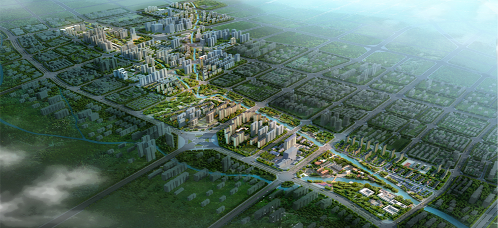
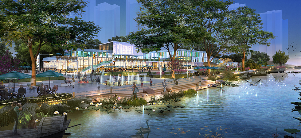
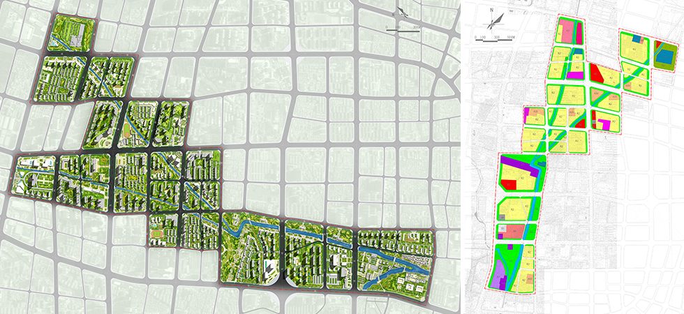
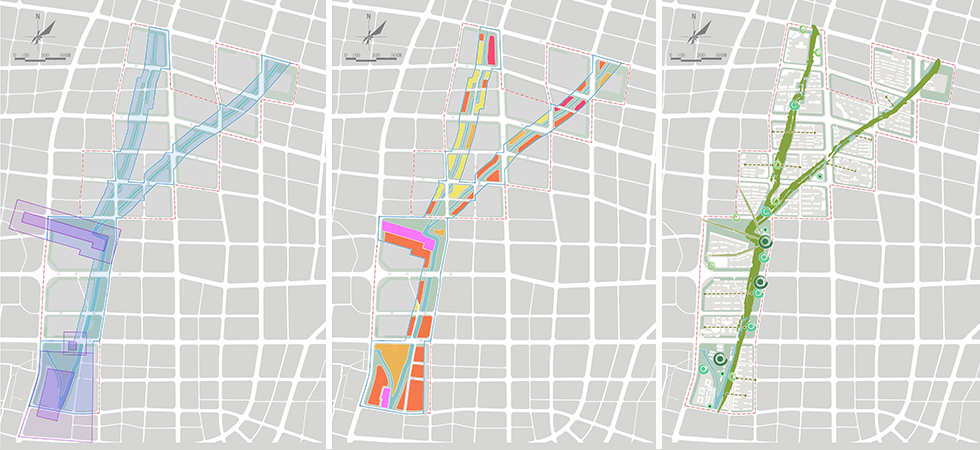
The Hancheng River originates from the western slope of Dushan Mountain, flows into Wenliang River at the Memorial Temple to Medical Sage and has a total length of about 7.1 km. The planning area reaches Xinchen Road in the north, Yishengci Road in the south and the regions one block away from each side of the blue line of the riverway in the east and west respectively, has a length of about 6.5 km and covers a total land area of about 3.4 km2. Based on the current relics of Wancheng in the Han Dynasty and the Memorial Temple to Medical Sage, having introduced Emperor Guangwu and paints in the Han Dynasty and combined with the leisure environment in the dwelling district, the planning aims to build the Hancheng River into a livable river featuring the culture of the Han Dynasty. The planning area is divided into the south and north regions by B3 Road. The north region is the modern living district mainly including residential land and will build natural charm square and painting & stone park mainly planted with sophora japonica and Chinese redbud on the waterfront. The south region is the historical and cultural district featuring the cultural relics and historic sites will build the Wancheng Relics Park and Guangwu Cultural Square represented by painting in the Han Dynasty on the waterfront.
![]()
版權所有:? Copyright 2011-2056 bjycxf.com All Rights Reserved
技術(shù)支持:北京網(wǎng)站建設  原創(chuàng )先鋒