Work category:Planning Browse:2131
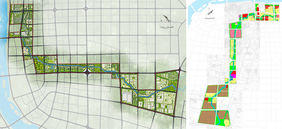
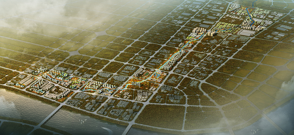
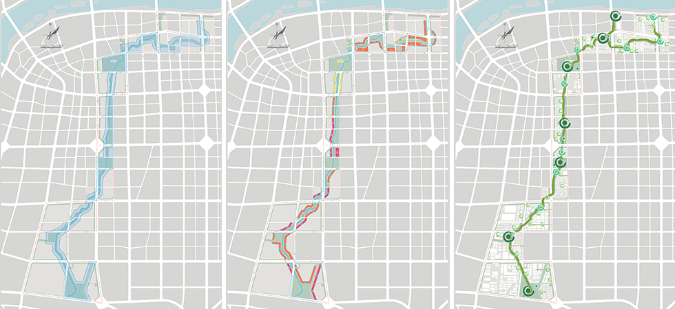
The Lihe River originates from the South Dragon King Temple of the Baihe River and has a length of about 10.7 km in the urban area. The planning area reaches the Baihe Avenue in the north, national road 312 in the south and the regions one block away from each side of the blue line of the riverway in the east and west respectively, has a length of about 10.3 km and covers a total land area of about 6.3 km2. The river is near the former residence of Peng Xuefeng and flows through the Xuefeng Road. Using maples and daisies to respond to the red culture represented by Pen Xuefeng, the planning aims to highlight the inheritance of red culture in Nanyang and build the Lihe River into a river of inheritance. The planning area is divided into the south, middle and north regions by Huanghe Road and Weiba Road. The north region is the urban landscape region mainly including commercial and educational land and will build maple garden and Sage Square on the waterfront. The middle region is the fashion dwelling district mainly including residential land and will build Times Park on the waterfront. The south region is the urban industrial district mainly including industrial land and will build 4.0 Park on the waterfront.
![]()
版權所有:? Copyright 2011-2056 bjycxf.com All Rights Reserved
技術(shù)支持:北京網(wǎng)站建設  原創(chuàng )先鋒